
Tile Map Editor — Make a Map You Can Walk Around
A map you can walk around in: describe the place, get the painted grid and the collision that goes with it, then test the level on the same page.


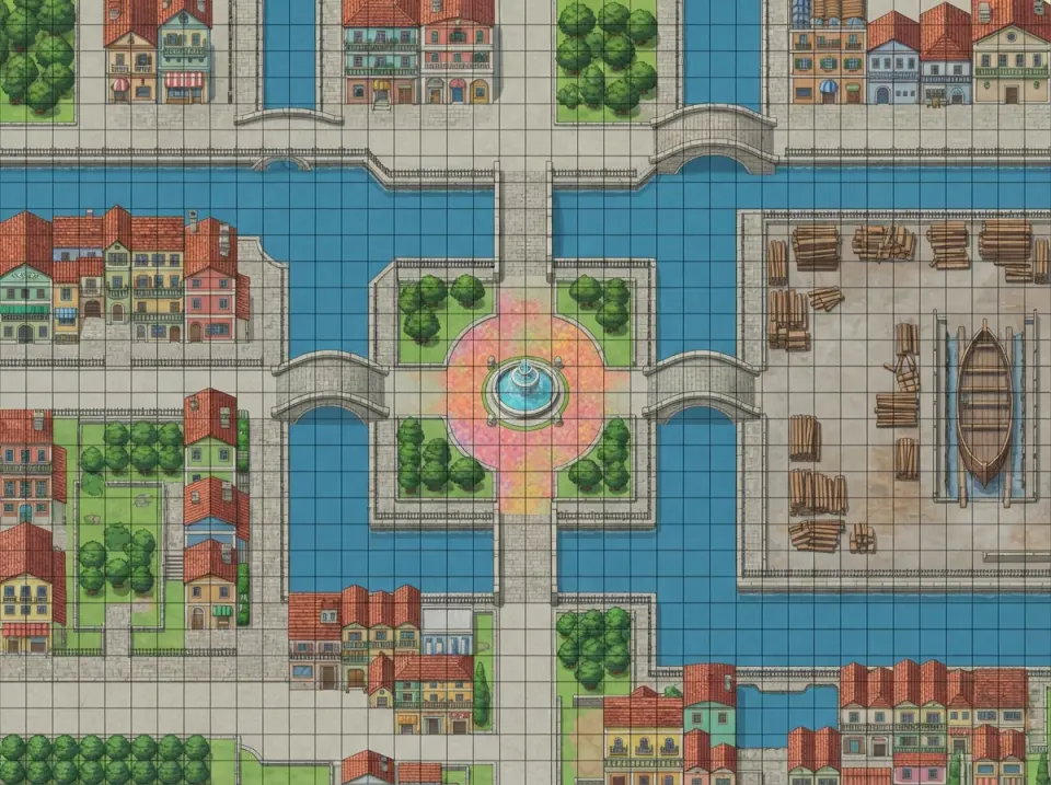
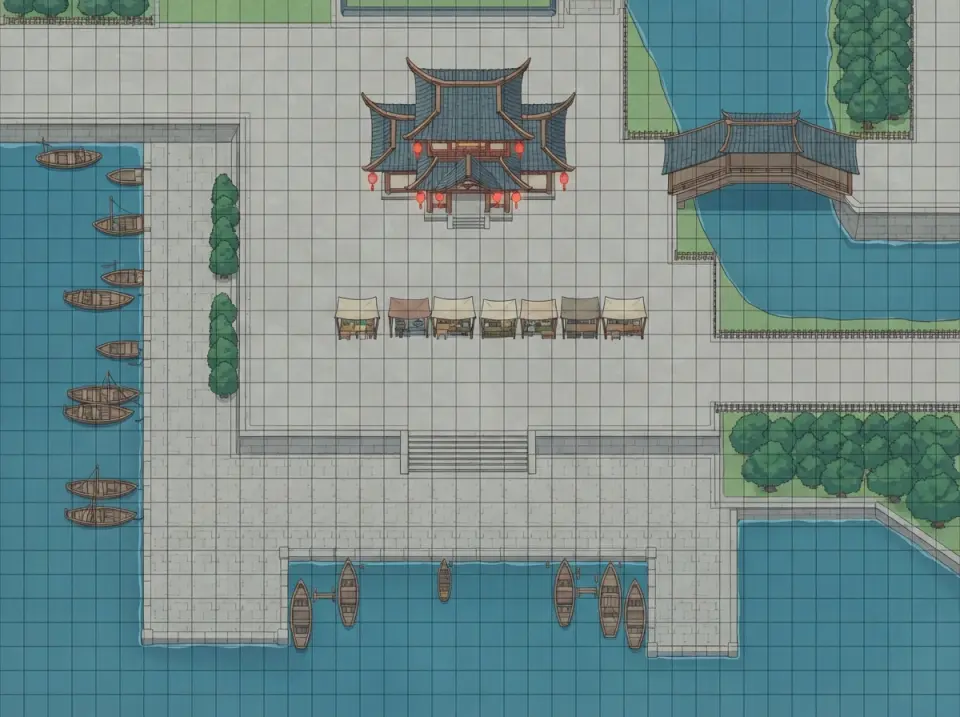
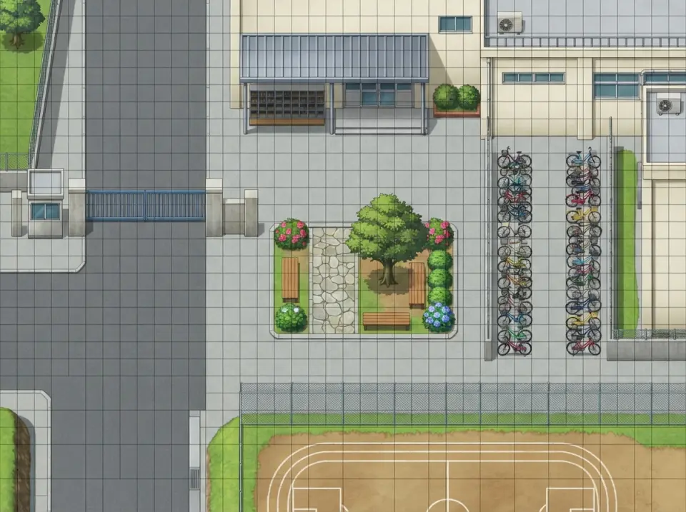
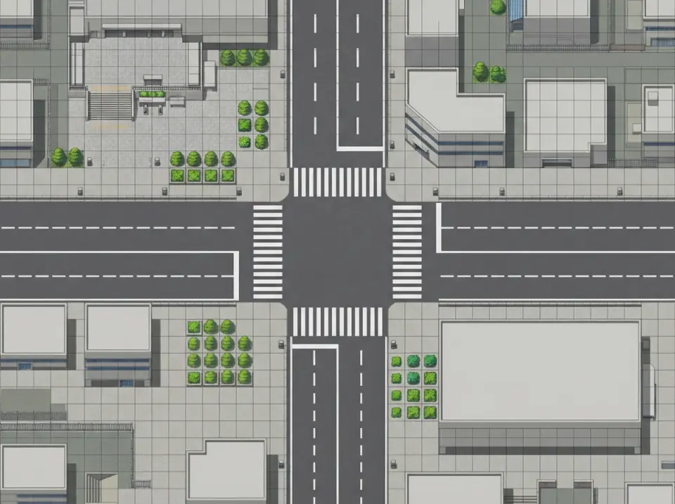
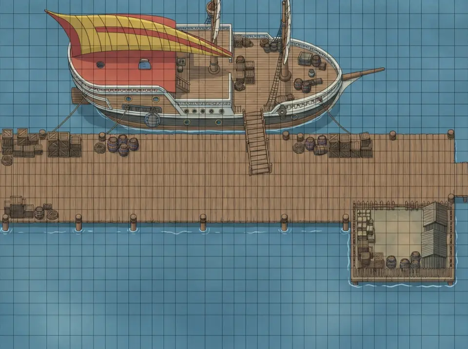
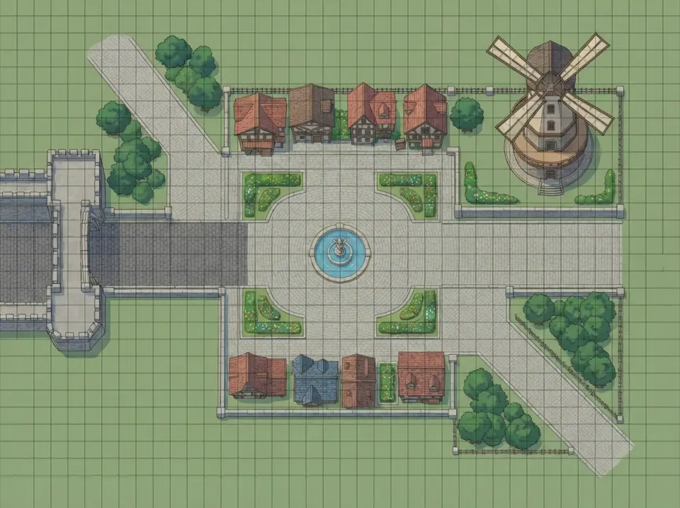
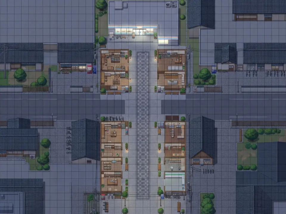
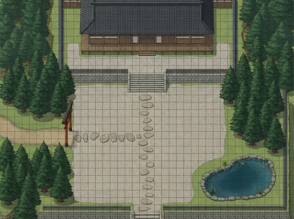

See the work live.
Open the work and use it here.
The map and the walk are one build.
Neta Studio builds the picture, the collision data and the playable page together. Describe the place and it paints the map, marks what blocks a character, writes the Tiled file and publishes a page you can move around in. Keep describing changes — a wider quay, a gate moved two tiles left — and the whole set updates with them. Under the hood it runs Neta's Game Maker skill and its tile-collision workflow.
- Real layers, not one painted picture — Roads, open areas, blocked footprints and clearance are separate grids. Toggle them on the page, then export them as data.
- Walk it before you ship it — Arrow keys and click-to-path on the same canvas. Open areas are checked for reachability before the build is called done.
- PNG, Tiled TMJ, JSON — Take the flat map for a mockup, the TMJ for Tiled, or the raw grids for your own engine.
Questions before you start
Is this a tile map editor or a map generator?
Both ends of the same job. You describe the place and the build paints the first pass — map, collision and a Tiled file. From there you edit by describing what to change, and the grids regenerate.
Can I change the map after it's built?
Yes. Ask for a wider road, a moved gate, a blocked alley or a new building, and the background and every grid are rebuilt together. Small edits are cheaper than a full rebuild.
What tile size does it use?
32 px cells by default, on a grid that divides evenly into the 1024 px map. Say 16, 24 or 48 if your project needs it.
What can I export?
A flat PNG of the map, a Tiled TMJ with the layers and tile data, and the JSON grids — road, open area, blocked, clearance and route cost.
How does it decide what's walkable?
It reads the art: roads, plazas and door approaches become walkable, while roofs, water, walls, fences and dense trees become blocked. Then it applies clearance — three tiles on narrow roads, a margin sized to the character in open areas — and checks that the open areas connect.
Can I use my own tileset or background?
Yes. Upload a top-down map image and the grid is derived from it. The art needs to be straight down, with roads and blocked footprints you can read — a painting shot at an angle won't slice cleanly.
Is it isometric?
The default is orthogonal top-down, which is what most tile editors and Tiled projects use. Isometric needs a different projection and draw order, so ask for it explicitly.
Does it work on a phone?
The published page opens on a phone and the overlays work, but placing edits is a desktop job. The map and the walk are fine on a small screen.
Make the map, then walk it.
One sentence gives you the painted map, its collision grid and a page where you can move around.